

![]()
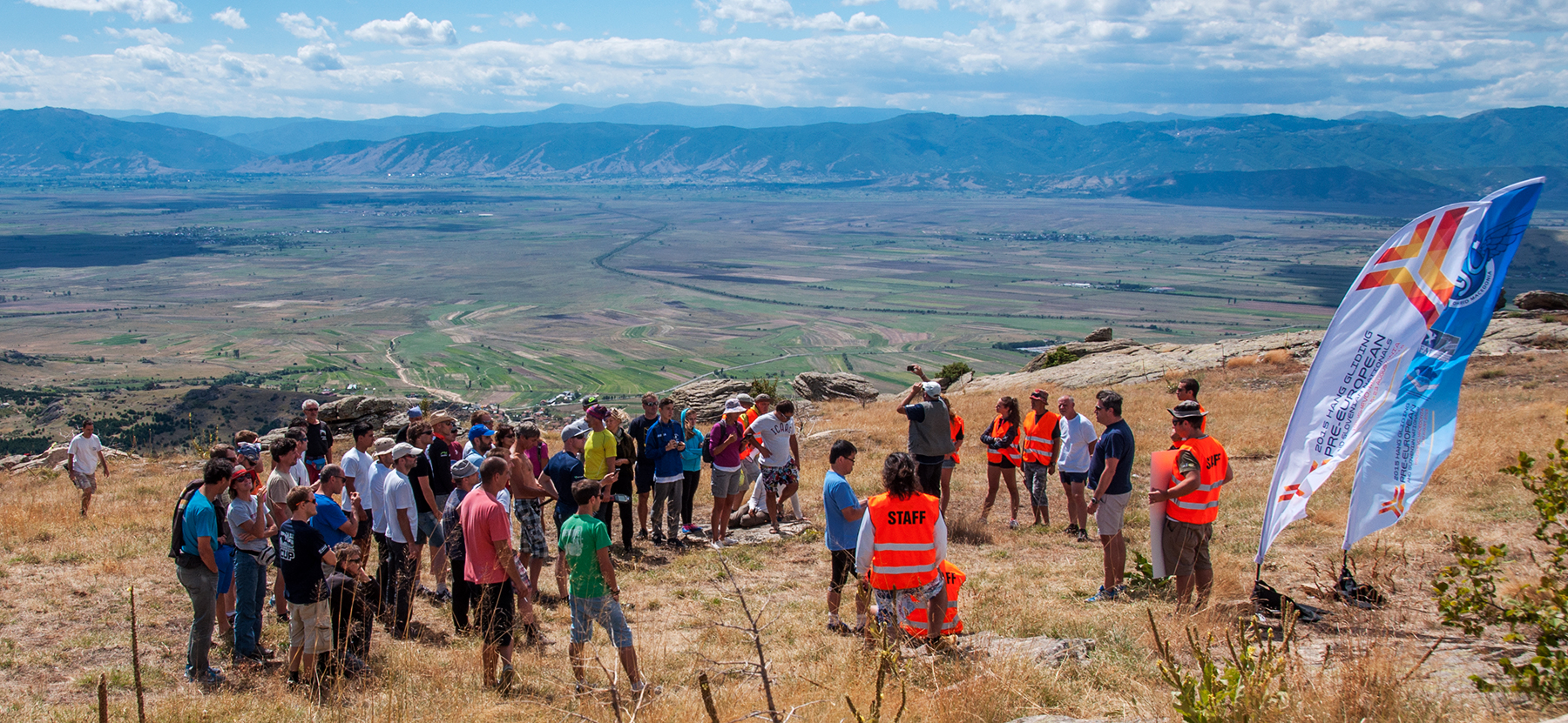
Despite this flashy heading Pre-Europeans or CIVL wars /(c)Gordon :)/ turned out to be pretty good. From the point of organization everything went on quite smooth. All involved staff put a lot of efforts to have working and at the same time non-tensed atmosphere.
In this post which comes rather late after the Pre-Europeans I would prefer not to focus on the accurate details of the competition itself as I think everybody who wanted, has already a clue about the results (https://airtribune.com/euhg2015/results/task929/comp/overall_c1). They happened to be quite good for Moyes pilots inculing me, but as most of other things, these numbers also have an expiry period. On the other hand so far I haven’t seen any hang gliding description of this flying area. So I thought maybe it is worth to put some impressions, photos, flying details such as take-offs and common tasks, as well as some general information together to depict the place which is going to hold European Championship next year. (I do hope we have it, please! I have already been to one Non-Europeans in Spain… Though here is another story again.)
I find that Macedonia is potentially very interesting for non-competitors as well. It provides strong but in general not turbulent thermals, easy landings, mild winds and normally quite predictable weather development over the day. Well, except some pre-frontal scenarios. The tasks may vary from rather short for beginners to moderate triangles of 150-170 km for the ones who want to take a look at every corner of Macedonian Pelagonia. Therefore I would like to compose this post as a story of my own little trip alternated with basic descriptions which could be useful for everybody thinking about going to this place. In any case I think 6 days of flying is not too long to get really comprehensive understanding. Thus I stay with what could be useful though it might be not in-depth analysis of local conditions.
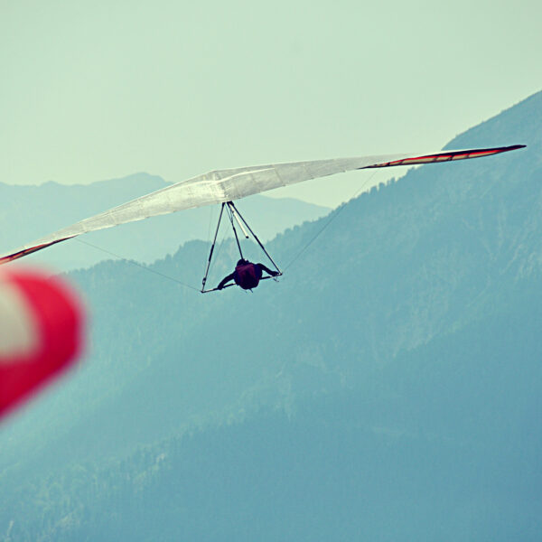
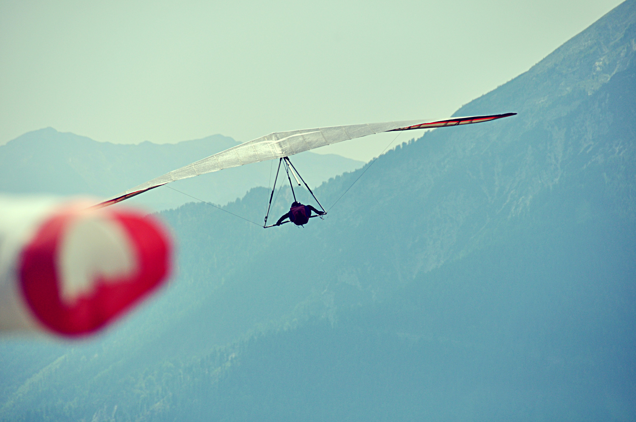
Instead of intermezzo: Spot the little Combat forcing its way through the countercurrent. So felt I when driving down to Krushevo and seeing a lot of traffic on its way to west:
NON-FLYING SHORT PART
I drove to Macedonia all the way alone from Austria through Slovenia, Croatia and Serbia. It took me 13 hours and 1300 km, 2 stops for gasoline and tea, 3 borders and one whole audio book of Theodore Dreiser “Sister Carrie”. /It felt a tat obscure to listen to the history of the consuming society while passing by former socialistic countries./
Most of the route went with highways until the last 150 km in Serbia and partly in Macedonia where the roads are not as luxurious. Anyway I considered that average 100 km/h wasn’t that bad given the amount of border-controls, so altogether this slow mediating and fast driving tuned me into a good competitive mood. I was all enthusiastic and curious to get there on the evening prior the practice day.
Once arrived to Macedonia, one of the first things I stumbled over before seeing something else was an unruffled tortoise crossing the road.
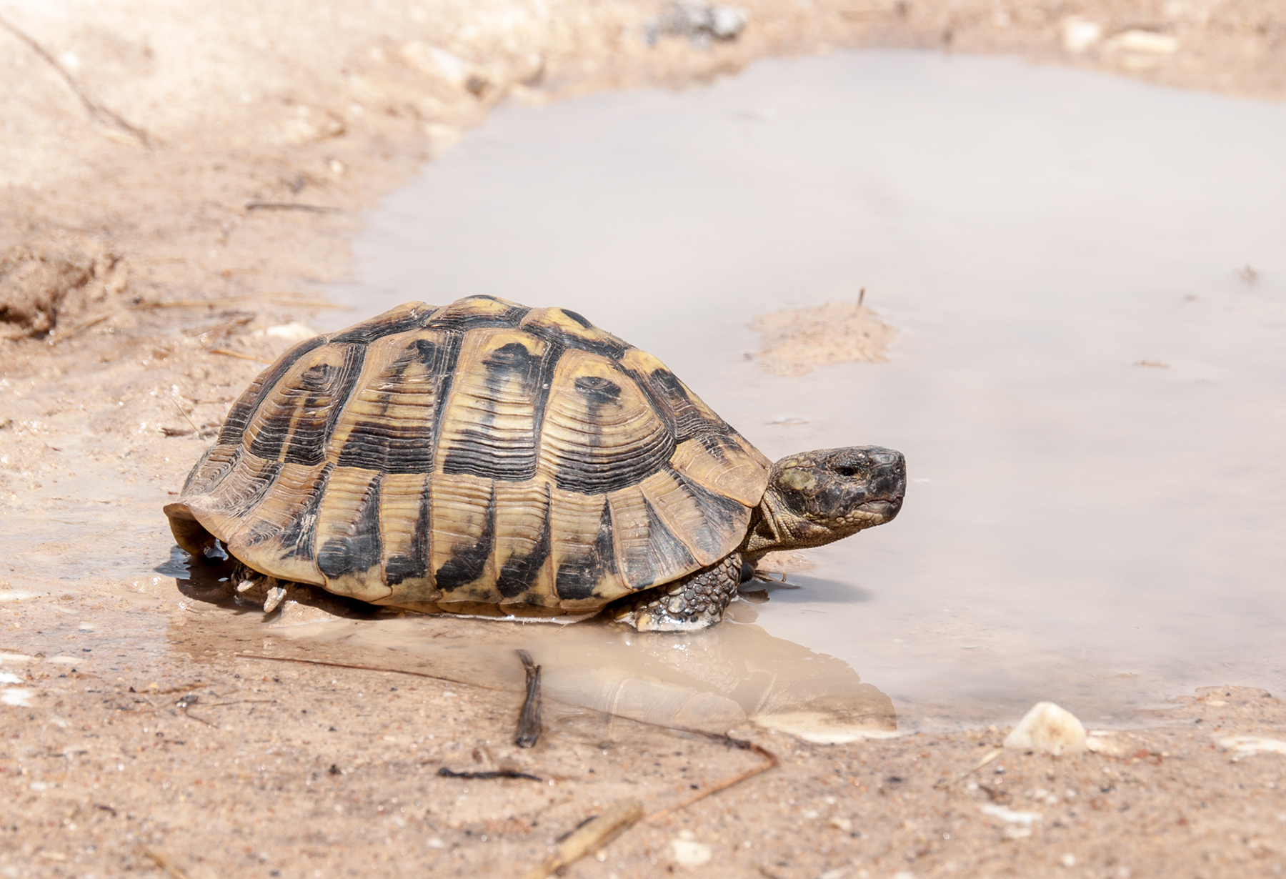
Seriously! Along with cats and dogs there are turtles “running” across the roads. The locals were giving me rather strange looks when I got out of the car with Russian number plates, with a big rolled Moyes carpet on the roof, and rescued the animal from an inevitable death in the puddle.
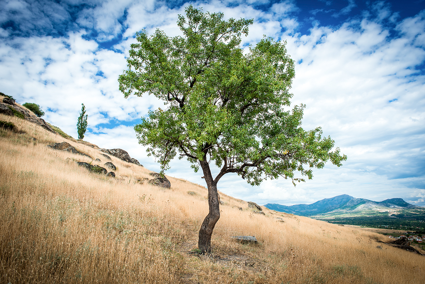
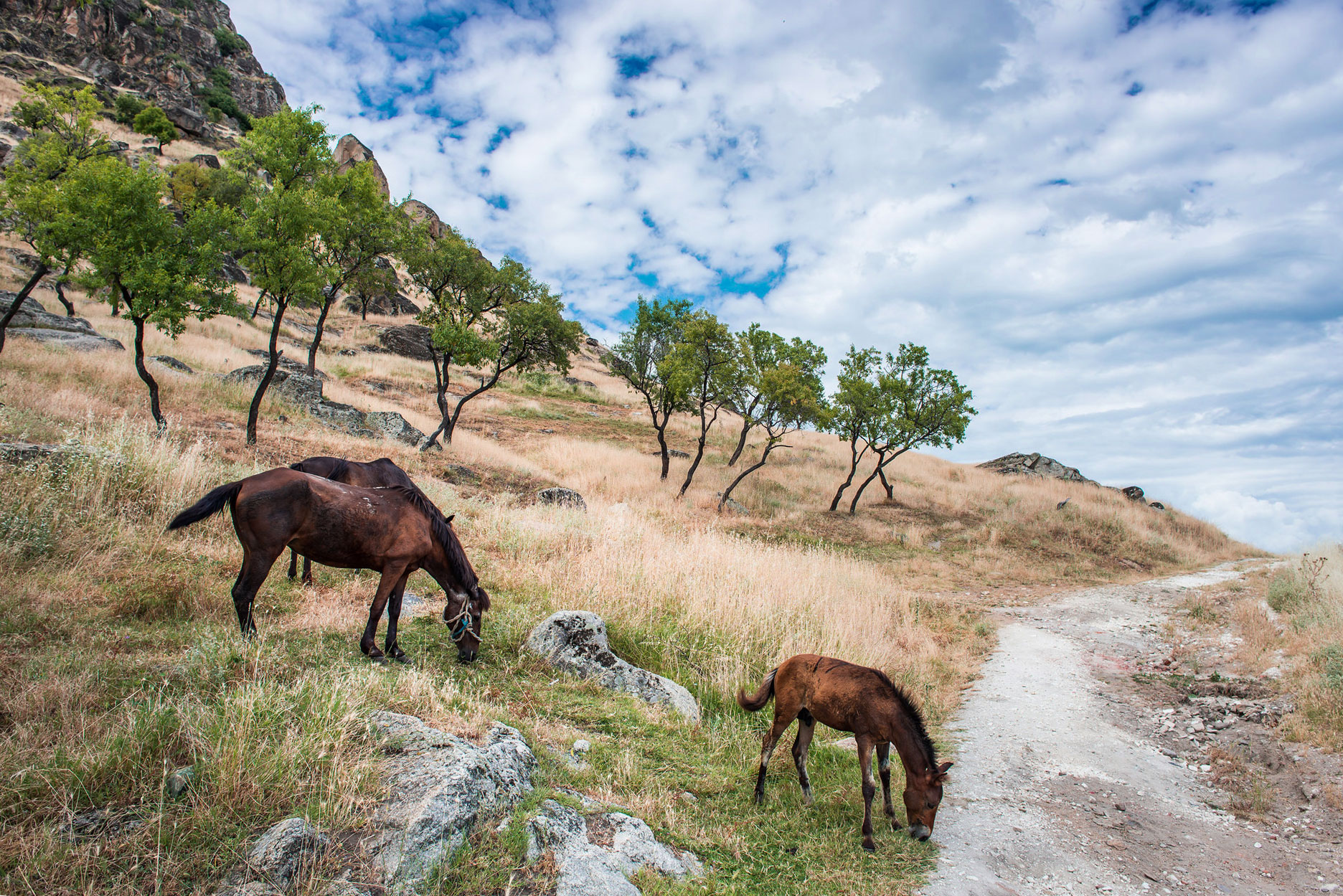
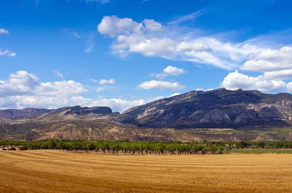
Macedonia felt very relaxing straight away with its yellow straw hills, bright post-frontal blue sky and people talking very familiar language.
Not only tortoises are running around.
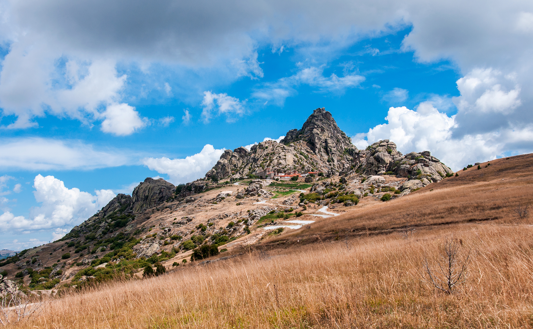
The little town Krushevo situated in the SE of Macedonia, 150 km down from the capital Skopje, was our headquarters. It sits on a ridge, 5 mins from the main take-off, and provides everything needed — the private rooms, number of restaurants, food stores and a local hospital. Krushevo has a long history and quite authentic view. First thing which catches russian eye is the amount of cars manufactured in Russia. I bet the concentration of them is higher than in Moscow.
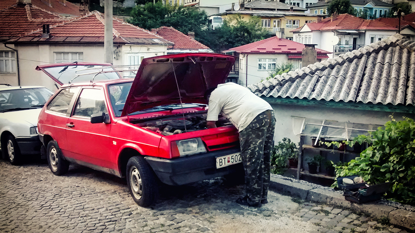
Classical posture of a happy owner of an old Lada. However, I have to give it to the modern models, they all seemed to be alright and fresh.
The prices in Macedonia are very affordable. Take any EU price and divide by 2,5. Probably except fuel. An average dinner was about 5 euro or so. Also for Russians it can be quite comfortable in terms of language, when listening carefully and talking slowly there are no problems in communication. Non-flying days are normally the days for visiting very touristic Ohrid with its huge and beautiful lake.
NOW TO THE FLYING
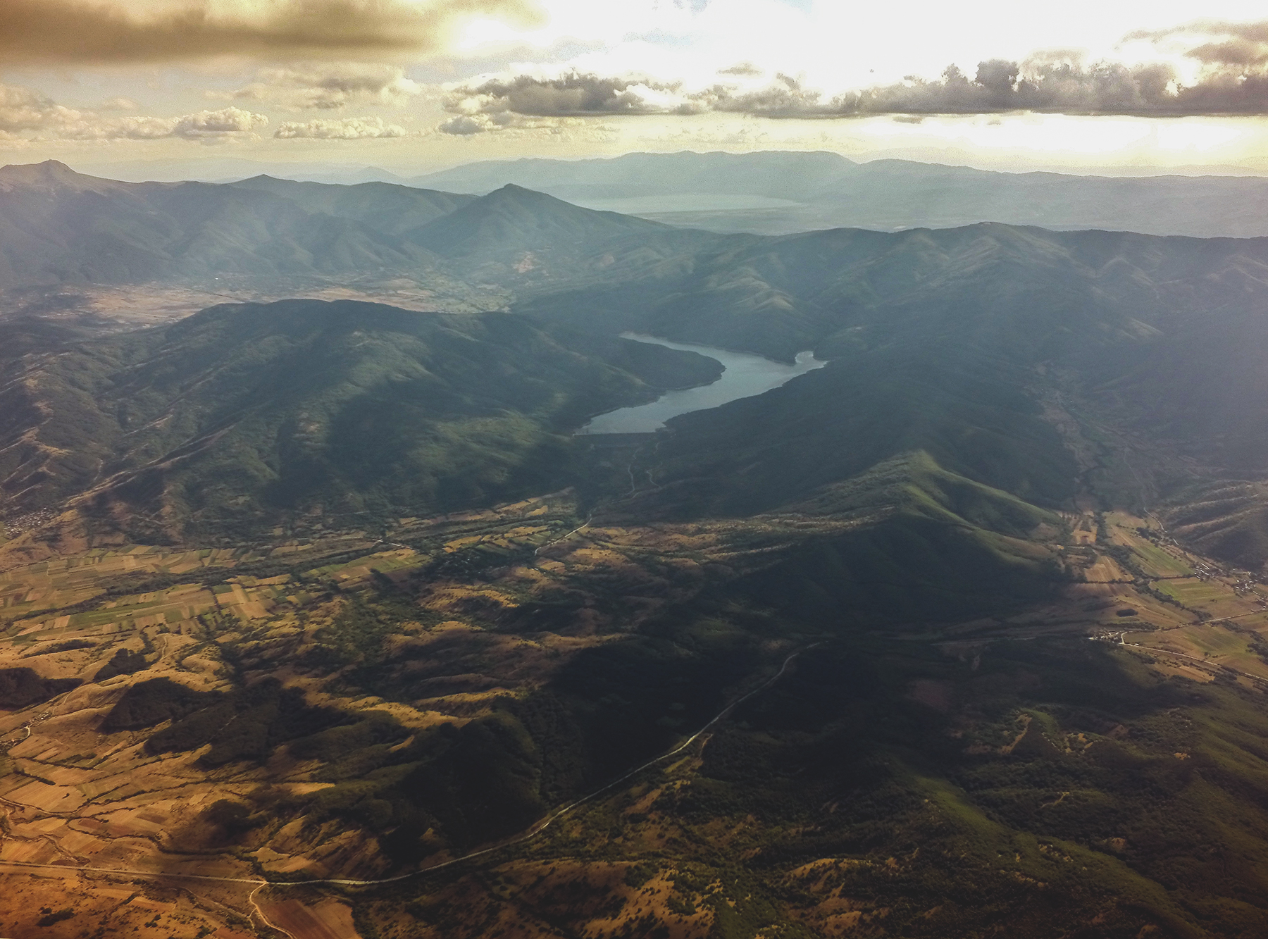
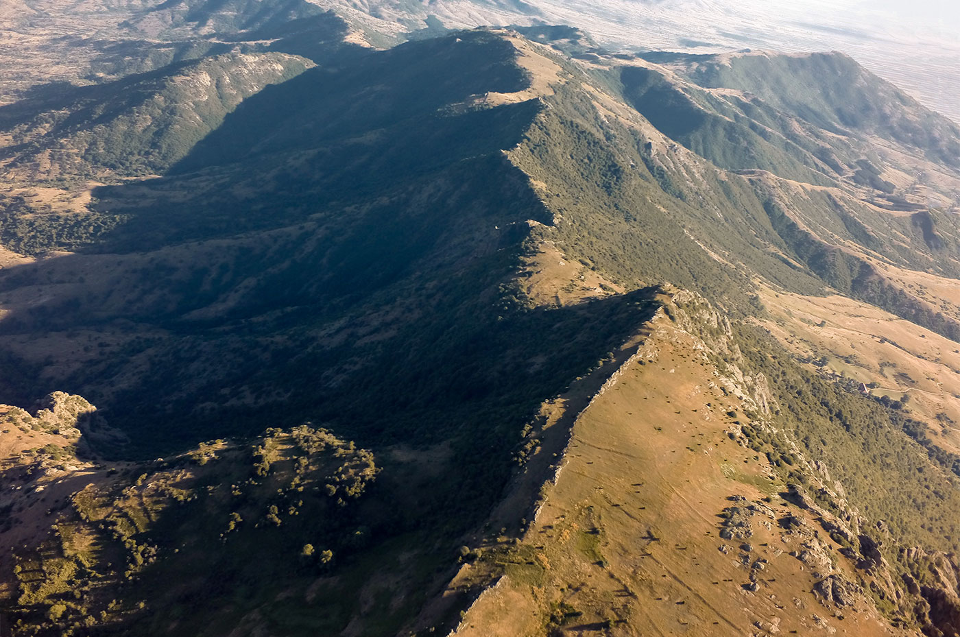
The region of our interest is called Pelagonia. It is a biggest plain area shared by Macedonia and Greece. The flat basin is surrounded by moderate 1400-1700 m mountain ranges from all sides except south with the highest ridges lying to NW. The last fact defines the aerological local SE winds prevailing when the days are not affected by strong global winds. However each ridge exposed to the sun “pulls the blanket” when the thermals are on, so it is very common for hills and slopes to have their own local flows. Might be tricky.
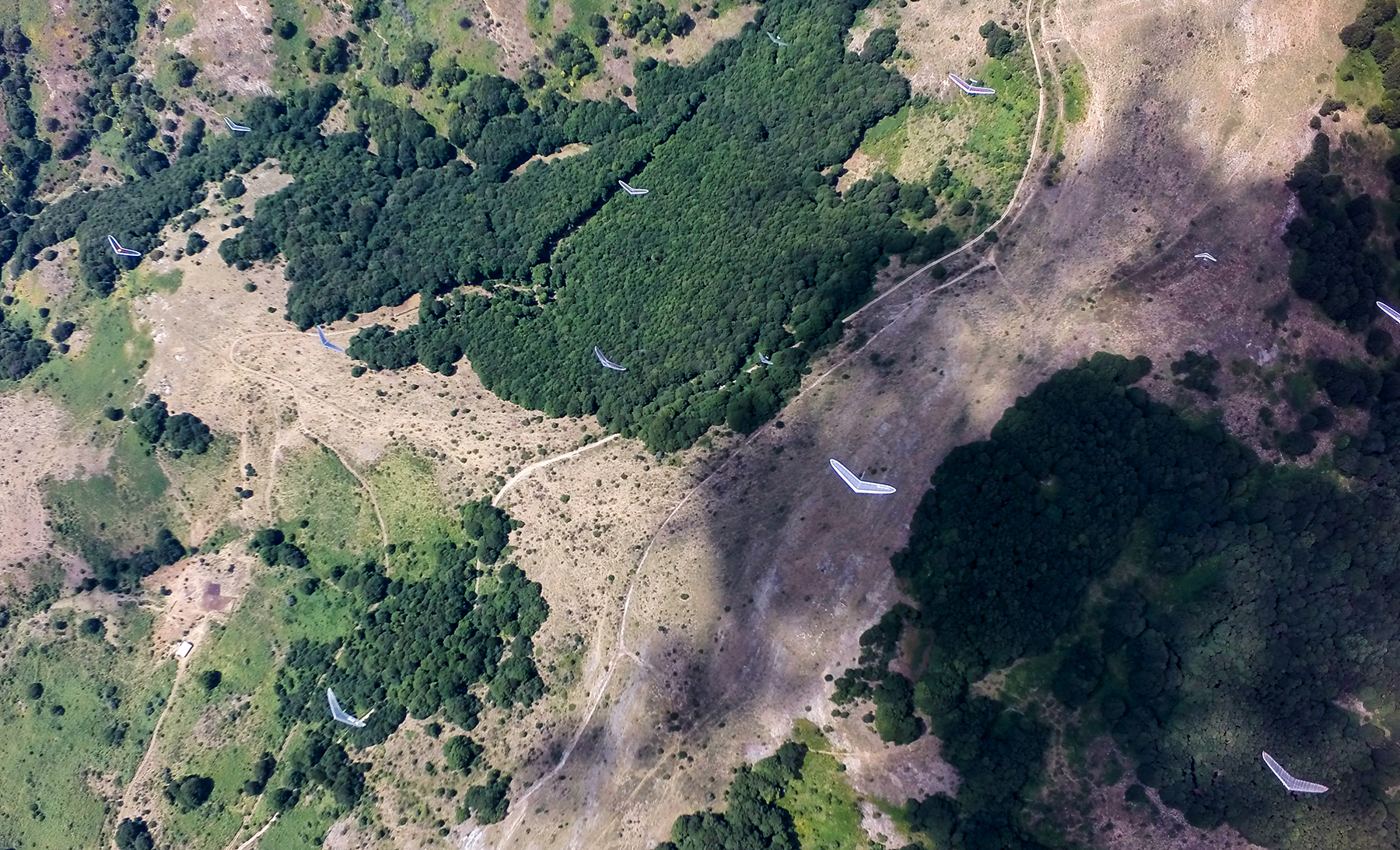
Here is a map presenting flying area, the turnpoints are the ones that have been used during pre-Europeans. In case you need it for free flying, the file can be found here: https://www.dropbox.com/s/jy3551aw2yu4z2b/Macedonia%202015.kml?dl=0
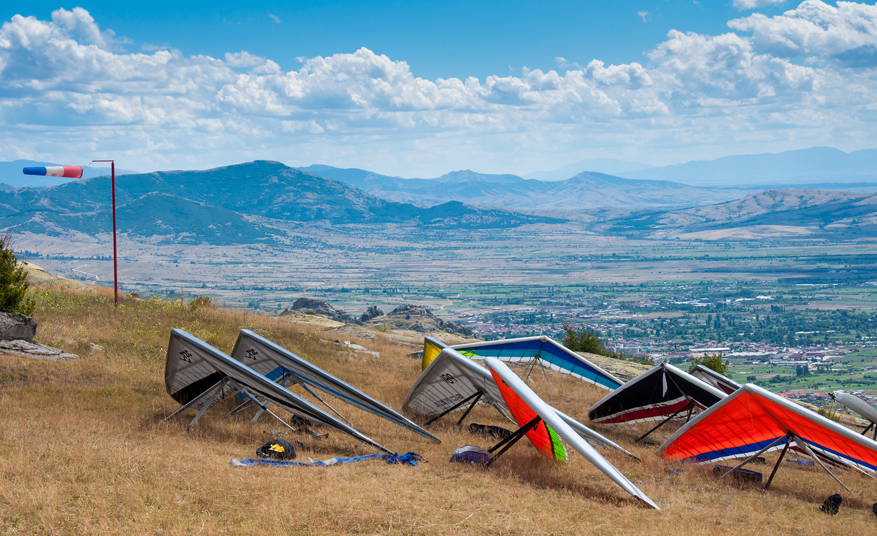
There are two take-offs facing E and W. The most used one is for E direction near Krushevo. Grassy slope provides enough space to set up a big comp. Normally the site starts working quite early though it takes thermals certain time to pinch through the inversion. Our air gates were normally at 13:00-13:30, so the launch was working at least 1 hour before.
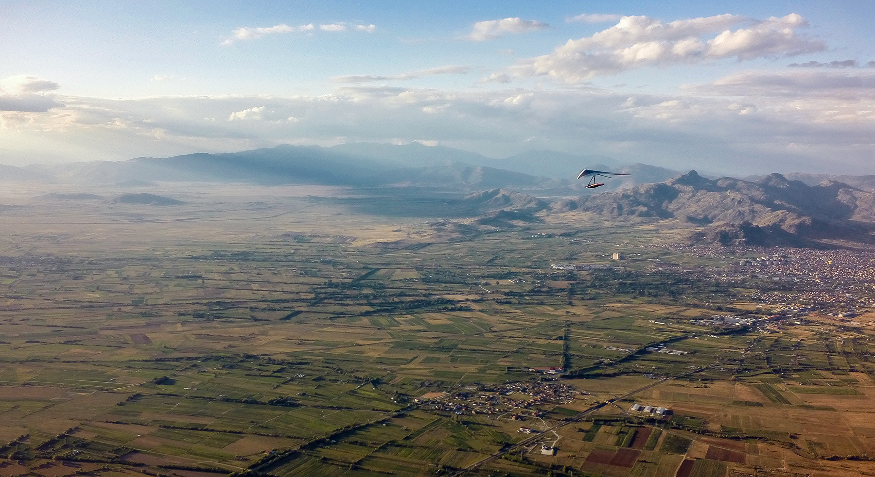
The other launch locates on the opposite western side of the basin, over a comparatively big town called Prilep. The sediment rock prepared by nature during millions of years serves nowadays as a hang gliding ramp. Impressive for both the pilots and spectators:
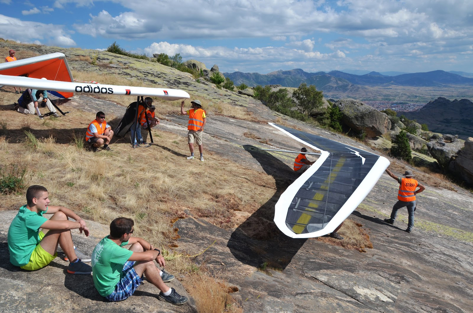
↑ (c) by Jamie Sheldon
Unfortunately despite all the beauty of this second take off, it allows only one line, which makes a big competition stuck when the wind conditions get marginal. However for free flying days it is very relaxed late spot.
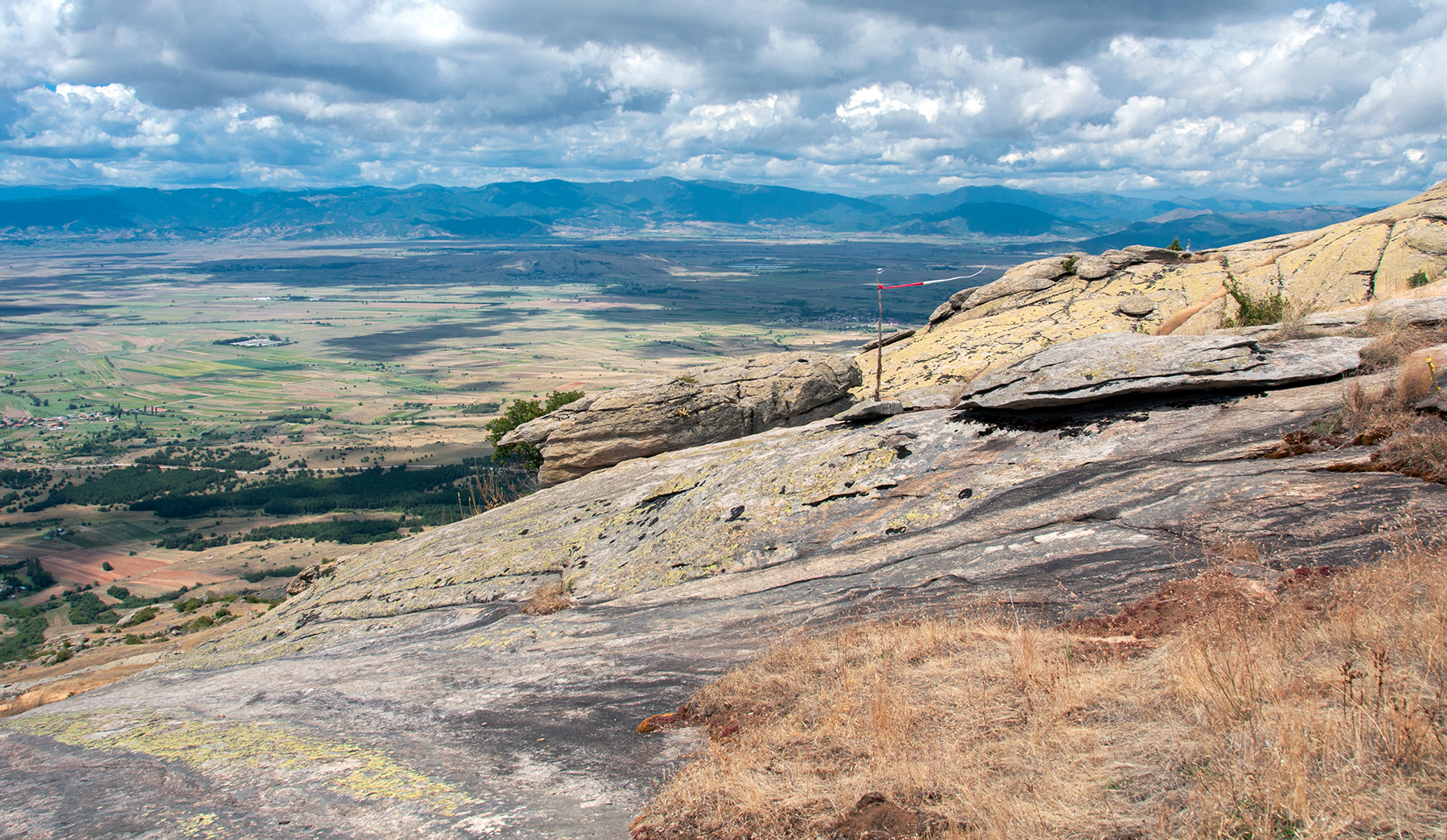
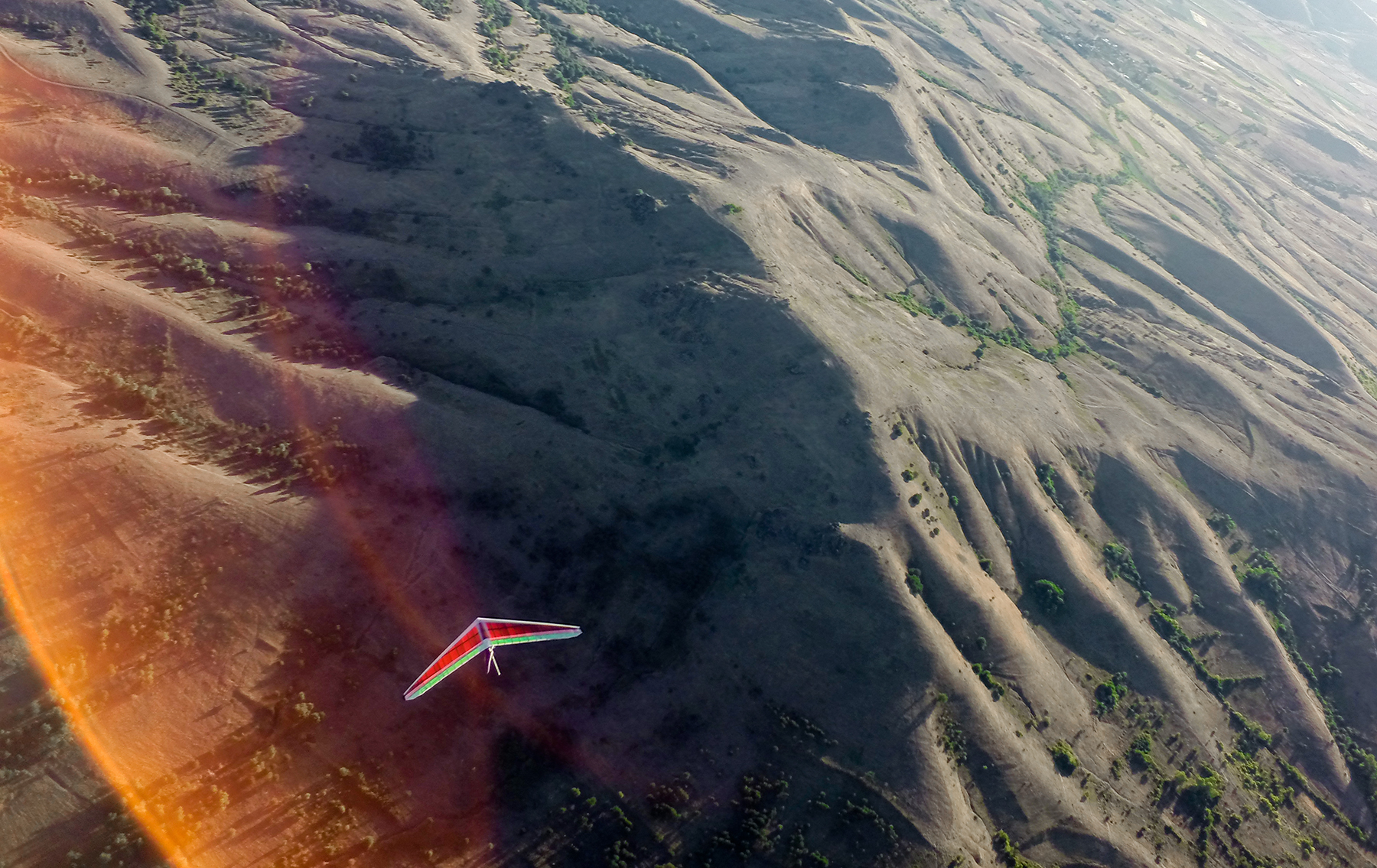
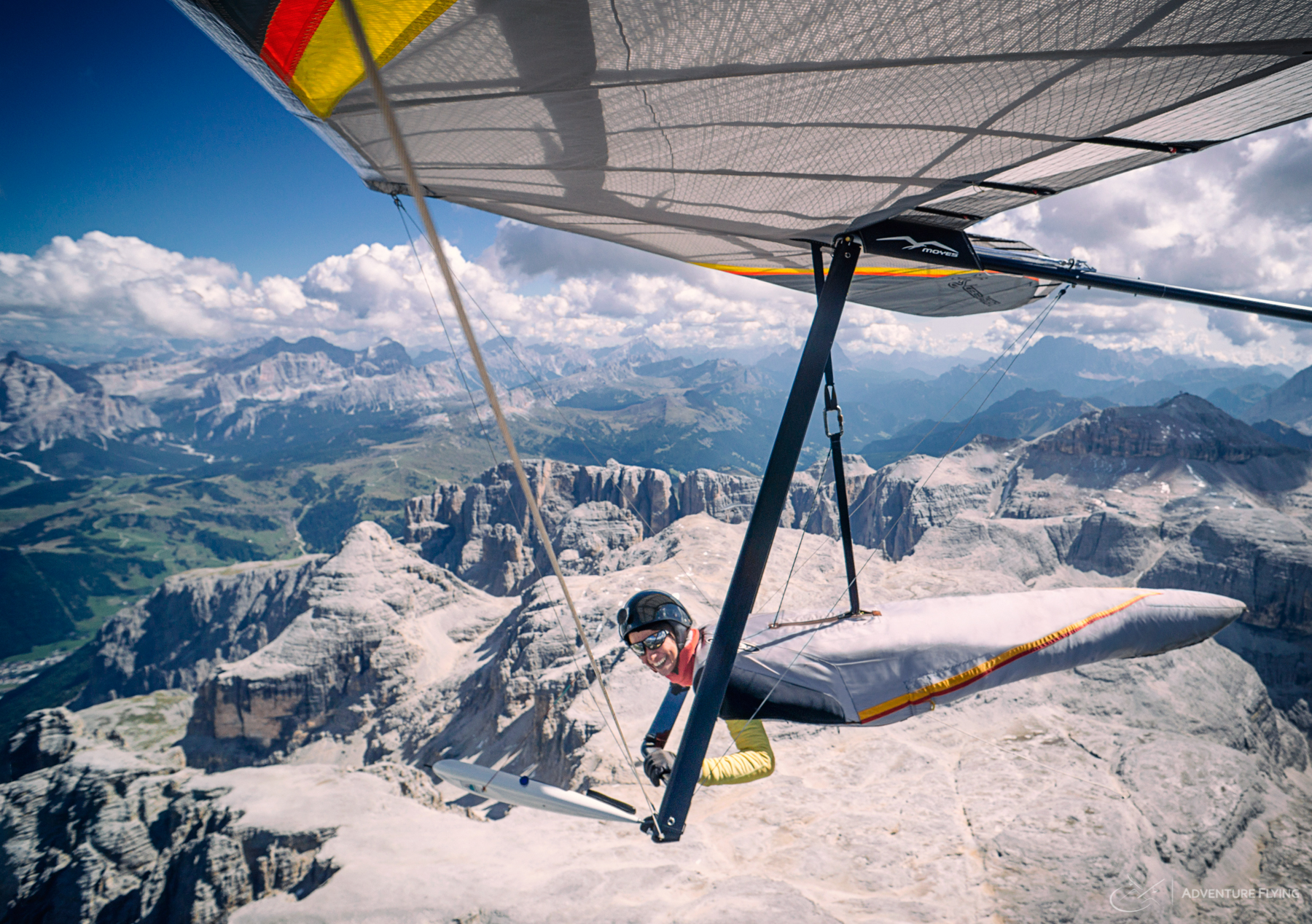
Overall size of the playground suggested during pre-Europeans was 35*80 km2. At first glimpse doesn’t appear as much. Nevertheless, when the cloudbase is high enough it could be extended towards SW (Ohrid) direction. There might be interesting jumps from valley to valley accompanied by very scenic views on the northern side of Prespansko and Ohrisko lakes. Given the fact that it is not rare to see 3500-4000 m cloudbase, the glides could be long and high enough. At least it looks very alluring, here is a photo which I took before turning to NE on my final glide on the first comp day:
Competition tasks weren’t astonishingly surprising but they were different and quite tricky with winds. We had 4 out of 5 flying days with tasks from 75 to 125 km.
I was asked my tracklogs as examples. In reality my ones are too far from ideal, so in case you are interested, here is the link to all the tracklogs from pre-European Competition: https://airtribune.com/euhg2015/info/details__downloads
And to visualize a common path I give this more or less classical for the area triangle task which I logged with life tracking Avionicus app on the first day. /I still can’t believe I was in front of the guys when went on the longest final glide hitting headwind in the end and missing 200 m to make the goal. That was a memorable moment to watch other 4 pilots coming after and making it… Still I was 5th of the day, not too bad, huh 🙂 If you want to get a glimpse at an emotional state of one who bombed 4 km from the goal go for more details to this page: http://avionicus.com/track9715.
